|
|
General: 13 DE OCTUBRE (DIA NUMERO 33 COPTO) DE 1884 SE ESTABLECIO MERIDIANO DE GREENWICH
Elegir otro panel de mensajes |
|
|
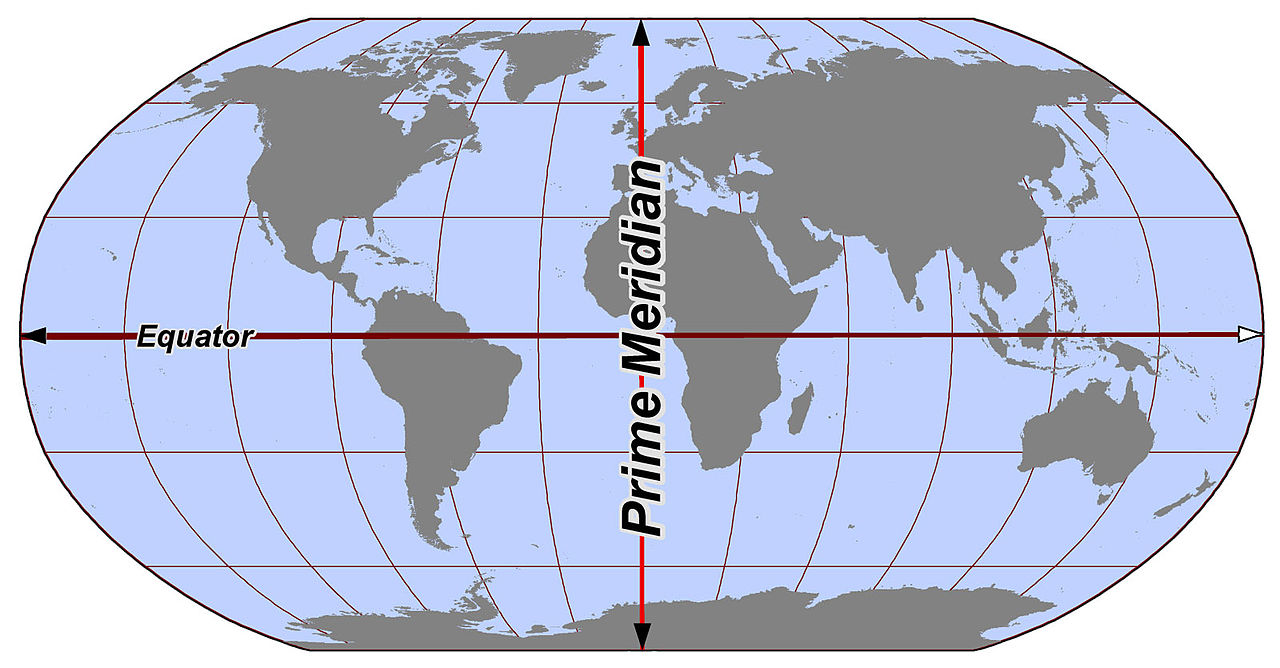
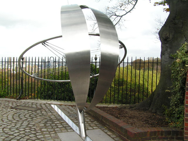
El meridiano de Greenwich –el meridiano cero– es una línea imaginaria que divide el mundo en dos semicircunferencias de 180º de latitud. Es el meridiano a partir del cual se miden las longitudes.
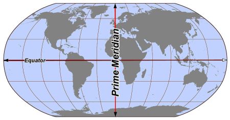
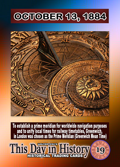
Fue adoptado como referencia el 13 de octubre de 1884, durante la International Meridian Conference celebrada en Washington.
Antes del acuerdo de Washington, se utilizaban varios meridianos como referencia, generando complicaciones en la navegación y el comercio.

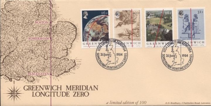
Sellos con motivo del centenario del meridiando de Greenwich (1984)
|
|
|
|
|
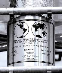
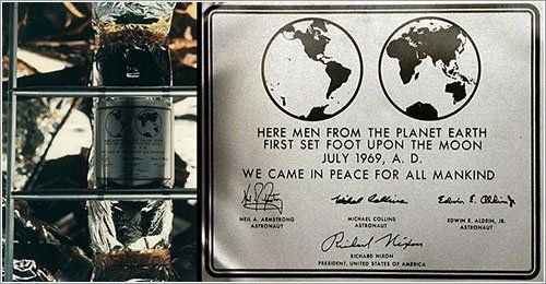

 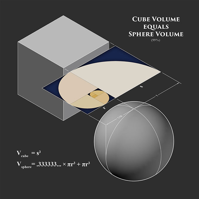
Here is an interesting read on Stargates and 19.47
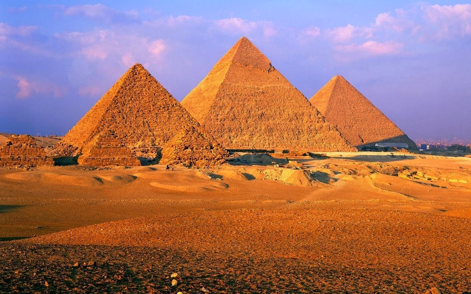
In terms of Richard Hoagland's ' hyperdimensional physics' derived from the geometric 'message' of Cydonia (Mars), the conduit or 'stargate' between this world 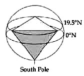 and the Otherworld (i.e. hyperspace) is prominently represented by the angle 19.5°. According to the theory, it is the tetrahedral geometry signified by this angle that enables inter-dimensional energy transfer between the two realms. 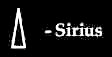 This 'stargate' geometry is expressed by a circumscribed tetrahedron (made up of four equilateral triangles). Interestingly enough, the hieroglyphic sign denoting Sirius was a triangle in ancient Egypt. The connection is made evident by archaeo-astronomy. First, it is widely accepted these days that the 'air shafts' inside the Great Pyramid were designed to aligned with certain stars. One was specifically targeted toward Sirius in c. 2350 BC.
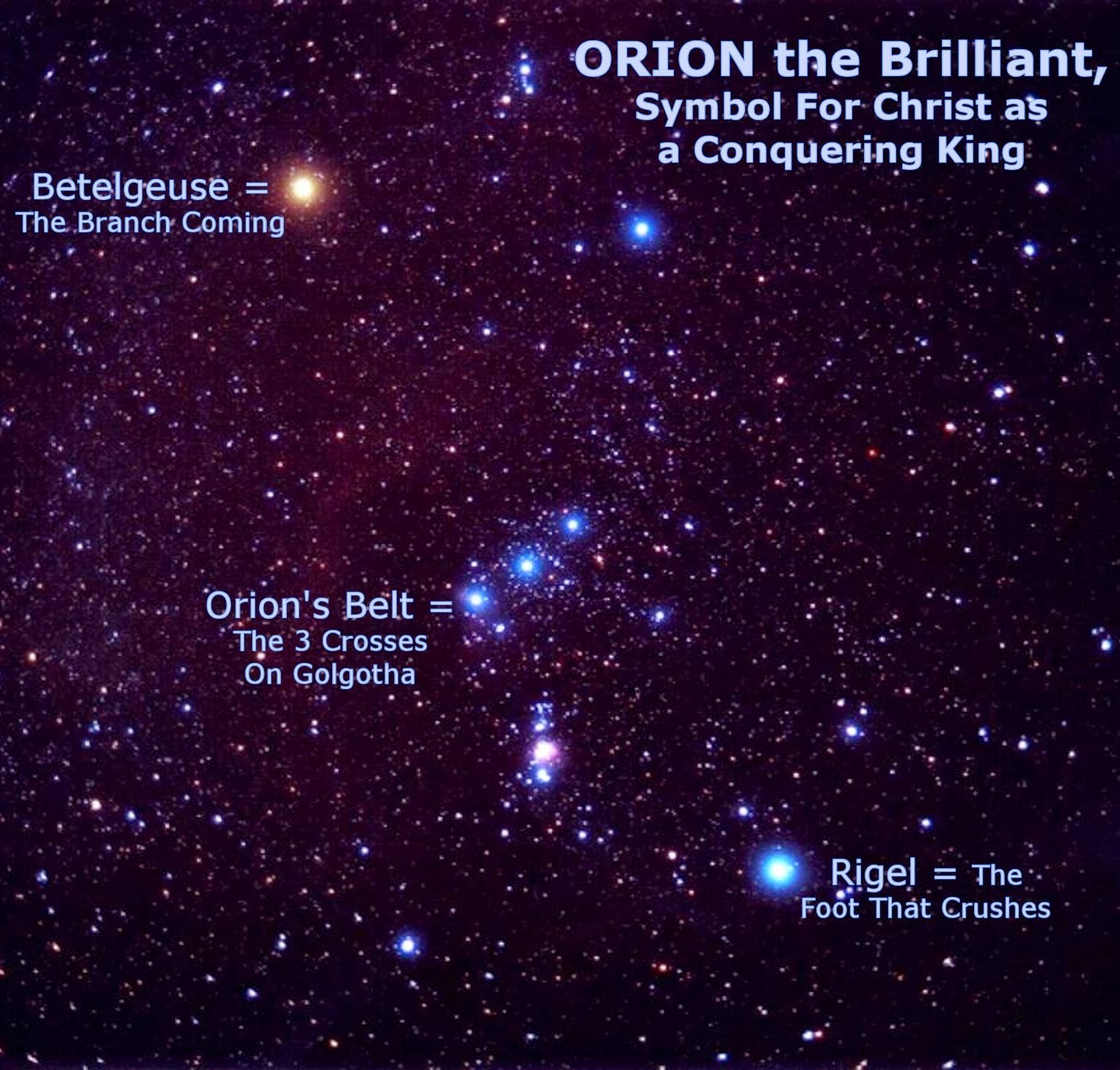
And at that pinpointed time (c. 2350 BC), Sirius and Orion's Alnitak (representing the Great Pyramid as per the Orion Correlation Theory) together produced the angle 19.5° (when Sirius was rising on the Giza horizon).[10]
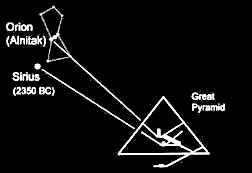 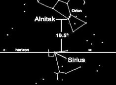
Next, it is natural - given the Sirius-Great Bend connection - to wonder about the possibility of the Nile's 'Winding Waterway' having some relevance to tetrahedral geometry. Indeed, we do find a clear connection!
Believe it or not, the northern peak of the Great Bend precisely pinpoints the tetrahedral/stargate latitude, 19.5°N.!

What's even more incredible is the fact that the same Bend peak also pinpoints 33°E longitude. As those familiar with Hoagland's work would surely know, '33' and '19.5' are considered the two key numbers in the 'hyperdimensional code'! (Hoagland is just not yet aware of this Nile connection.)
In 1997, the esoteric importance of those numbers was overtly demonstrated as NASA landed a tetrahedron-shaped Mars Pathfinder lander on the Red Planet at 19.5 N and 33 W.! (That's pretty in your face, isn't it?)
     |
|
|
|
|
June 22 DC Metro subway trains collide - 9 dead, 80 injured
Timeline:
June 18-24: Gov. Sanford missing/crying in Argentina
June 21: 'Impact' Part 1 on ABC; Prince William birthday
June 22: DC Metro Red Line trains in collision
June 23: US Moon probes (LRO/LCROSS) reach Moon
June 24: Gov. Sanford reveals Argentine affair
June 25: Death of Michael Jackson & Farahh Fawcett
'Metro' means 'meter' in Spanish, Italian, Portuguese, etc. The meter is historically defined as 1/10,000,000 of the distance between the North Pole and the equator through Paris, or in other words the Paris Meridian between the North Pole and the equator. The Paris Meridian is also the 'Rose Line' (an esoteric concept popularized by The Da Vinci Code) i.e. a 'Red Line'...

DC Metro Red Line = French/Columbian Rose Line
...traditionally implying the Blood Royal/Sangraal or the Marian/Columbian Bloodline of the Holy Grail.
In Bloodline of the Holy Grail Laurence Gardner writes of the House of Stuart, the royal bloodline to which Princess Diana and her children belong (pp. 344-5):
https://www.goroadachi.com/etemenanki/moonwalker.htm |
|
|
|
|
Modo IA Todo Imágenes Vídeos Noticias Maps Shopping Libros Vuelos Finance Tu consulta conecta de manera fascinante conceptos astronómicos, tradiciones de peregrinación y hitos de la historia de la navegación y la cartografía del tiempo universal. El 13 de octubre de 1884, durante la Conferencia Internacional del Meridiano en Washington D. C., se votó formalmente adoptar el meridiano de Greenwich como el meridiano cero mundial. Esta resolución definió que el "Día Universal" comenzaría exactamente a la medianoche (hora cero) de ese meridiano. The Hindu +3 A continuación, se desglosa cómo se entrelazan la Navidad, la constelación del Cisne, el Camino de Santiago y la determinación de la medianoche como punto de partida: 1. La determinación astronómica de la "Hora Cero" y la medianoche Antes de la conferencia de 1884, los astrónomos no iniciaban el día a la medianoche, sino al mediodía, para evitar que la noche de observación quedara dividida en dos fechas distintas. Sin embargo, la conferencia estipuló que el cómputo del tiempo civil debía primar: el día universal comenzaría a la medianoche media de Greenwich (hora 00:00). www.thegreenwichmeridian.org +1 Científicamente, la medianoche se determina cuando el Sol cruza el meridiano inferior del observador (el lado opuesto al mediodía). Para calcular esto con precisión antes de los relojes atómicos, los astrónomos medían el paso de estrellas de referencia por el meridiano local durante la noche. 2. La constelación del Cisne (Cygnus) y su simbolismo navideño La constelación de Cygnus (el Cisne) contiene un famoso asterismo conocido como la Cruz del Norte. Aunque es una constelación asociada al verano en el hemisferio norte (cuando culmina a la medianoche a finales de junio y julio), tiene un comportamiento visual único en las fechas decembrinas: Wikipedia +2 El efecto de Nochebuena: A finales de diciembre, específicamente el 24 y 25 de diciembre, alrededor de las 21:00 o la medianoche (según la latitud), la Cruz del Norte se ubica en el horizonte de una forma muy particular: aparece completamente erguida en el cielo del noroeste oponiéndose verticalmente sobre el horizonte. NBC News +1 Por esta razón, históricamente se le ha llamado el "símbolo navideño del cielo" o la "Cruz de Navidad", actuando como un recordatorio visual de la fe cristiana en la propia Nochebuena, justo cuando el solsticio de invierno marca el "renacimiento de la luz". 3. El Camino de Santiago y el eje astronómico El Camino de Santiago está íntimamente ligado a la astronomía; tradicionalmente se le conoce como el "Camino de las Estrellas" porque sigue la dirección de la Vía Láctea de este a oeste hacia Galicia. La constelación de Cygnus se encuentra exactamente en el plano de la Vía Láctea (su eje largo coincide con el río blanquecino de nuestra galaxia). Sterngucker.de +1 Durante los meses de peregrinación, los caminantes usaban el Cisne y la Vía Láctea como un mapa estelar natural para orientarse hacia el oeste en la oscuridad. Además, desde el siglo VI, documentos eclesiásticos (como los escritos de Gregorio de Tours) constatan que los monjes utilizaban la posición de esta "Gran Cruz" en el cielo nocturno para medir el tiempo y determinar las horas de los rezos nocturnos, sirviendo como un reloj astronómico previo a los estándares modernos. Wikipedia Resumen de la influencia mutua El acuerdo del 13 de octubre de 1884 unificó de forma matemática y civil lo que la humanidad llevaba siglos haciendo de manera empírica y religiosa. Mientras que el mundo antiguo usaba la Cruz del Norte (Cygnus) sobre el Camino de Santiago para leer la medianoche y celebrar el nacimiento de la luz en la Navidad de diciembre, la ciencia moderna en Washington estandarizó esa "hora cero" bajo una línea imaginaria en Greenwich, permitiendo que la medianoche del 24 al 25 de diciembre ocurra de manera sincronizada en todo el planeta a través de los husos horarios. Council on Foreign Relations +4 ¿Te gustaría profundizar en cómo se usaban otras constelaciones para calcular el tiempo en la navegación del siglo XIX, o conocer más detalles de los debates que ocurrieron en la Conferencia de Washington de 1884? Here is the English translation of the response: Your query fascinatingly connects astronomical concepts, pilgrimage traditions, and milestones in the history of navigation and universal time mapping. On October 13, 1884, during the International Meridian Conference in Washington D.C., a formal vote was held to adopt the Greenwich Meridian as the prime meridian of the world. This resolution defined that the "Universal Day" would begin exactly at midnight (hour zero) of that meridian. Below is a breakdown of how Christmas, the constellation Cygnus, the Camino de Santiago, and the determination of midnight as the starting point are intertwined: 1. The Astronomical Determination of "Hour Zero" and Midnight Before the 1884 conference, astronomers did not start the day at midnight; instead, they began it at noon to prevent a single night of observation from being split across two different dates. However, the conference stipulated that civil timekeeping should take precedence: the universal day would begin at Greenwich Mean Midnight (00:00 hours). Scientifically, midnight is determined when the Sun crosses the observer's lower meridian (the side opposite to noon). To calculate this precisely before atomic clocks, astronomers measured the transit of reference stars across the local meridian during the night. 2. The Constellation Cygnus and Its Christmas Symbolism The constellation Cygnus (the Swan) contains a famous asterism known as the Northern Cross. Although it is a constellation associated with summer in the Northern Hemisphere (when it culminates at midnight in late June and July), it exhibits a unique visual behavior during December dates: The Christmas Eve Effect: In late December—specifically on December 24 and 25—around 9:00 PM or midnight (depending on the latitude), the Northern Cross sits uniquely on the horizon: it appears completely upright in the northwestern sky, standing vertically above the horizon. For this reason, it has historically been called the "Christmas symbol of the sky" or the "Christmas Cross," acting as a visual reminder of the Christian faith on Christmas Eve itself, just as the winter solstice marks the "rebirth of light." 3. The Camino de Santiago and the Astronomical Axis The Camino de Santiago is deeply linked to astronomy; it is traditionally known as the "Way of the Stars" because it follows the direction of the Milky Way from east to west toward Galicia. The constellation Cygnus lies exactly on the plane of the Milky Way (its long axis coincides with the whitish river of our galaxy). During pilgrimage months, walkers used Cygnus and the Milky Way as a natural star map to guide themselves westward in the dark. Furthermore, since the 6th century, ecclesiastical documents (such as the writings of Gregory of Tours) confirm that monks used the position of this "Great Cross" in the night sky to keep time and determine the hours for night prayers, serving as an astronomical clock long before modern standards. Summary of Mutual Influence The agreement on October 13, 1884, mathematically and civilly unified what humanity had been doing empirically and religiously for centuries. While the ancient world used the Northern Cross (Cygnus) along the Camino de Santiago to read midnight and celebrate the birth of light during Christmas in December, modern science in Washington standardized that "hour zero" under an imaginary line in Greenwich, allowing midnight on December 24–25 to occur synchronized worldwide across time zones. Would you like to dive deeper into: How other constellations were used to calculate time in 19th-century navigation? More specific details about the debates that took place during the 1884 Washington Conference? La respuesta del Modo IA está lista |
|
|
|
|
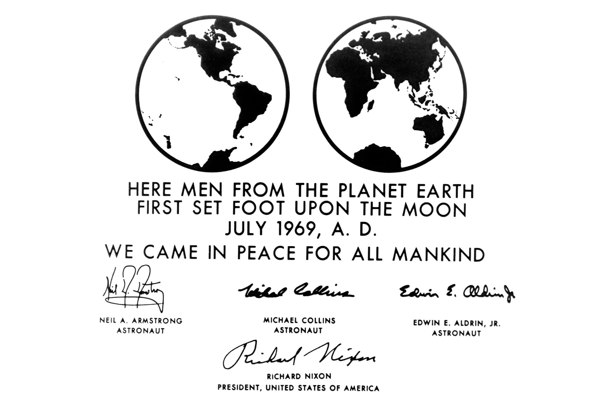
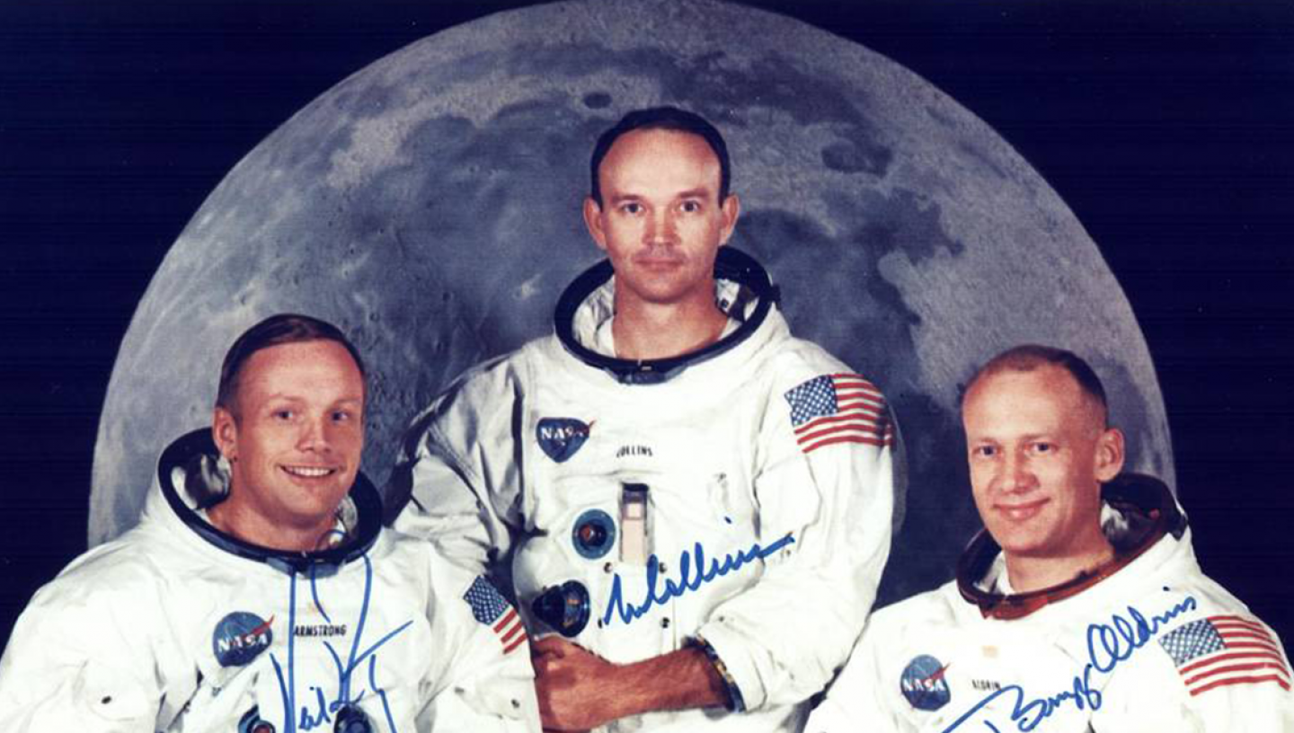
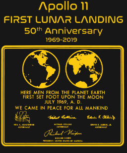
Modo IA Todo Imágenes Vídeos Noticias Maps Shopping Libros Vuelos Finance El cálculo de la hora cero y los husos horarios establecidos en la Conferencia Internacional del Meridiano en 1884 se hizo en función de dos factores principales: la astronomía (el movimiento de la Tierra) y la practicidad comercial y naviera de la época. Wikipedia +1 Las bases del cálculo se definieron siguiendo estos criterios: 1. La geometría de la Tierra y el Sol El sistema técnico se calculó dividiendo la rotación de nuestro planeta: 24 husos horarios: Como la Tierra tarda 24 horas en dar una vuelta completa sobre su propio eje (360 grados), se dividió el planeta en 24 franjas. YouTube ·Universidad Miguel Hernández de Elche 15 grados por huso: Al dividir 360° por 24 horas, el resultado es exactamente 15° de longitud por cada huso horario. Cada una de estas franjas representa una hora de diferencia respecto a la hora cero. Planetario Galileo Galilei +2 2. ¿Por qué se eligió Greenwich como el punto "cero"? A diferencia del Ecuador (que está fijado por la propia rotación de la Tierra), el meridiano de origen es una línea totalmente arbitraria. Se eligió el Real Observatorio de Greenwich en Londres por razones de peso en ese momento: Dominio cartográfico y marítimo: En 1884, más del 70% del comercio marítimo mundial ya utilizaba cartas de navegación basadas en el meridiano de Londres. Cambiarlo a otra ciudad (como París, que era la otra gran candidata) habría obligado a rehacer la cartografía de casi todo el mundo. Academia de las Ciencias y las Artes Militares +2 El día universal: Se definió que el "día universal" comenzaría en la medianoche de Greenwich (su hora cero) y contaría 24 horas continuas, facilitando la sincronización de los ferrocarriles internacionales y los telegramas. ¿Te gustaría saber cómo influyó la competencia entre Francia y el Reino Unido en esta votación histórica, o necesitas calcular la diferencia horaria actual de un país específico respecto a Greenwich (UTC)? The calculation of hour zero and the time zones established at the 1884 International Meridian Conference was based on two main factors: astronomy (the Earth's movement) and the commercial and shipping practicality of the era. The bases for the calculation were defined according to these criteria: 1. The Geometry of the Earth and the Sun The technical system was calculated by dividing our planet's rotation: 24 time zones: Since the Earth takes 24 hours to complete one full rotation on its axis (360 degrees), the planet was divided into 24 strips. 15 degrees per zone: Dividing 360° by 24 hours results in exactly 15° of longitude for each time zone. Each of these strips represents a one-hour difference relative to hour zero. 2. Why Was Greenwich Chosen as Point "Zero"? Unlike the Equator (which is fixed by the Earth's rotation itself), the prime meridian is a completely arbitrary line. The Royal Observatory in Greenwich, London, was chosen for powerful reasons at the time: Cartographic and maritime dominance: In 1884, more than 70% of the world's maritime trade already used navigation charts based on the London meridian. Changing it to another city (like Paris, which was the other major candidate) would have forced the redrawing of almost all global maps. The universal day: It was decided that the "universal day" would begin at Greenwich midnight (its hour zero) and count 24 continuous hours, making it easier to synchronize international railroads and telegrams. Would you like to know how the rivalry between France and the United Kingdom influenced this historic vote, or do you need to calculate a specific country's current time difference relative to Greenwich (UTC)? La hora oficial del día universal se conoce actualmente como Tiempo Universal Coordinado (o UTC, por sus siglas en inglés Coordinated Universal Time). Wikipedia Es el estándar de tiempo por el cual todo el mundo regula sus relojes y horarios en la actualidad. Dependiendo del ámbito o la época, también recibe otros nombres: Facebook ·AstroCiencias Ecuador +1 GMT (Greenwich Mean Time / Tiempo Medio de Greenwich): Fue el nombre original adoptado en 1884. Aunque la comunidad científica lo reemplazó formalmente por el UTC en 1972 debido a que el UTC se mide con relojes atómicos ultraprecisos (y no por la rotación de la Tierra), a nivel coloquial e internacional se siguen usando muchas veces como sinónimos. 24 Time Zones +4 Hora Zulú (Z): Es el nombre técnico que le dan las fuerzas militares, la aviación y la navegación marítima. Se le llama así porque en el alfabeto fonético náutico e internacional, la letra asignada al meridiano cero (Greenwich) es la Z (Zulu). EcuRed +1 Hora Civil Internacional: Es el término legal que utilizan los tratados para referirse a la hora de referencia globalizada que rige el comercio y las telecomunicaciones. Wikipedia +1 The official time of the universal day is currently known as Coordinated Universal Time (or UTC). It is the time standard by which the entire world regulates its clocks and schedules today. Depending on the context or the historical era, it also goes by other names: GMT (Greenwich Mean Time): This was the original name adopted in 1884. Although the scientific community formally replaced it with UTC in 1972 because UTC is measured by ultra-precise atomic clocks (rather than the Earth's rotation), it is still frequently used as a synonym in casual and international conversation. Zulu Time (Z): This is the technical name used by the military, aviation, and maritime navigation. It is called this because, in the nautical and international phonetic alphabet, the letter assigned to the prime meridian (Greenwich) is Z (Zulu). International Civil Time: This is the legal term used in treaties to refer to the global reference time that governs international trade and telecommunications. Would you like to review the grammatical differences between how English and Spanish handle time acronyms, or do you need help translating a specific time zone conversion? En el proyecto Apolo 11 (1969), la NASA manejó la secuencia temporal de forma dual. Para las operaciones técnicas y las comunicaciones del día a día utilizaron el tiempo GET (Ground Elapsed Time / Tiempo Transcurrido desde la Tierra), un cronómetro que iniciaba en 00:00:00 en el instante exacto del despegue. Sin embargo, para la sincronización con las estaciones de seguimiento global y la prensa mundial, todos los eventos clave quedaron registrados rigurosamente en Hora Universal / GMT. La secuencia cronológica de los hitos principales calculada bajo el huso horario GMT (Hora Universal) ocurrió de la siguiente manera: 1. El Lanzamiento El cohete Saturno V despegó desde Cabo Cañaveral (Florida) el 16 de julio de 1969. Hora GMT: 13:32:00 GMT Hora Local (Florida): 09:32:00 EDT (Horario de verano del este de EE. UU.). Tiempo GET: 00:00:00 (Inicio del reloj de la misión). Quora +2 2. La Inserción en Órbita Lunar (LOI) Tras tres días de viaje cruzando el espacio profundo, la nave encendió sus motores detrás de la Luna para frenar y entrar en órbita. Hora GMT: 17:21:50 GMT del 19 de julio. 3. El Alunizaje ("El Águila ha aterrizado") El módulo lunar Eagle, tripulado por Neil Armstrong y Buzz Aldrin, tocó la superficie lunar en el Mar de la Tranquilidad. Facebook ·Planetario BA +1 Hora GMT: 20:17:40 GMT del 20 de julio. Tiempo GET: 102:45:40 (Habían pasado poco más de 102 horas desde el despegue). 4. Los Primeros Pasos en la Luna (EVA) Originalmente la caminata estaba planeada para más tarde, pero los astronautas omitieron el periodo de descanso programado debido a la adrenalina del momento. The Planetary Society Apertura de la escotilla: 02:39:33 GMT del 21 de julio. La primera pisada (Neil Armstrong): 02:56:15 GMT del 21 de julio (Nota: Debido a la diferencia horaria, en América todavía era la noche del 20 de julio, mientras que en Europa y en el registro oficial GMT ya era la madrugada del 21 de julio). NASA (.gov) +3 5. El Despegue de la Luna Tras pasar 21 horas y 36 minutos en la superficie lunar (entre la caminata y el descanso), la etapa de ascenso del módulo lunar abandonó el satélite. Hora GMT: 17:54:00 GMT del 21 de julio. 6. El Amerizaje (Regreso a la Tierra) La cápsula de mando Columbia cayó de forma segura sobre las aguas del Océano Pacífico, completando con éxito la misión histórica. Hora GMT: 16:50:35 GMT del 24 de julio. Tiempo GET final: 195:18:35 (Duración total del viaje de ida y vuelta). naiz: ¿Te gustaría profundizar en cómo se coordinaban las estaciones de comunicación terrestres (como las de Robledo de Chavela en España o Goldstone en EE. UU.) usando esta hora GMT, o prefieres ver la traducción de estos hitos al inglés? During the Apollo 11 project (1969), NASA managed time sequence using a dual format. For technical operations and internal communications, they relied on GET (Ground Elapsed Time), a stopwatch that started at 00:00:00 at the exact instant of liftoff. However, to synchronize with global tracking stations and the worldwide press, all key events were rigorously recorded in Universal Time / GMT. The chronological sequence of the main milestones calculated under the GMT (Universal Time) time zone occurred as follows: 1. The Launch The Saturn V rocket lifted off from Cape Canaveral, Florida, on July 16, 1969. GMT Time: 13:32:00 GMT Local Time (Florida): 09:32:00 EDT (Eastern Daylight Time). GET Time: 00:00:00 (Start of the mission clock). 2. Lunar Orbit Insertion (LOI) After a three-day journey through deep space, the spacecraft fired its engines behind the Moon to slow down and enter lunar orbit. GMT Time: 17:21:50 GMT on July 19. 3. The Moon Landing ("The Eagle has landed") The lunar module Eagle, crewed by Neil Armstrong and Buzz Aldrin, touched down on the lunar surface in the Sea of Tranquility. GMT Time: 20:17:40 GMT on July 20. GET Time: 102:45:40 (Just over 102 hours had passed since liftoff). 4. The First Steps on the Moon (EVA) The moonwalk was originally planned for later, but the astronauts skipped their scheduled rest period due to the adrenaline of the moment. Hatch Opening: 02:39:33 GMT on July 21. The First Footstep (Neil Armstrong): 02:56:15 GMT on July 21 (Note: Due to the time difference, it was still the evening of July 20 in the Americas, while in Europe and in the official GMT logs, it was already the early morning of July 21). 5. Liftoff from the Moon After spending 21 hours and 36 minutes on the lunar surface (combining the moonwalk and rest), the lunar module's ascent stage left the satellite. GMT Time: 17:54:00 GMT on July 21. 6. Splashdown (Return to Earth) The command module Columbia safely splashed down in the waters of the Pacific Ocean, successfully completing the historic mission. GMT Time: 16:50:35 GMT on July 24. Final GET Time: 195:18:35 (Total duration of the round trip). Would you like to know more about: The transcripts of the communications during the landing sequence? How the worldwide tracking stations (like Fresnedillas in Spain or Honeysuckle Creek in Australia) synchronized via GMT to receive the TV signal? Let me know what aspect you would like to explore next. La respuesta del Modo IA está lista |
|
|
 Primer
Anterior
62 a 76 de 76
Siguiente Primer
Anterior
62 a 76 de 76
Siguiente
 Último
|
|
| |
|
|
©2026 - Gabitos - Todos los derechos reservados | |
|
|